White House launches climate data website


The aggregation of climate info and tools is designed to help foster application development and entrepreneurial opportunities.
In the latest outgrowth of President Barack Obama's Climate Action Plan, the White launched Climate.Data.gov, a website that hosts maps and data for businesses and government to track the effect of climate change on the environment and the economy,.
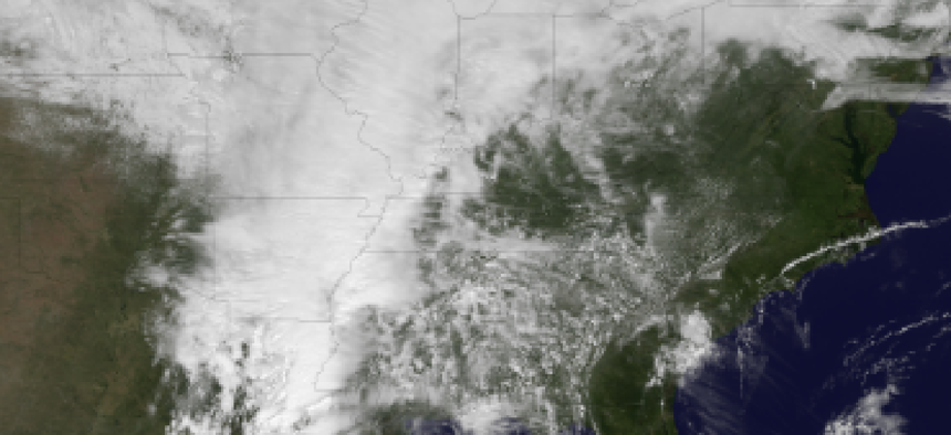
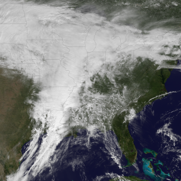
In its pilot phase, the new site will focus on data pertaining to coastal regions, where storms like hurricane Sandy along with gradual sea level rise are changing the contours of the geography.
The initial offering includes a host of mapping tools that track the changing coastline of the New York-New Jersey coastline hit hardest by Sandy, along with interactive mapping tools from FEMA, the National Oceanic and Atmospheric Administration, and the U.S. Geological Survey.
The datasets range from historical weather and tidal data to information on population movement and change. The aggregation of climate info and tools is designed to help foster activity among entrepreneurs and developers to create applications.
"This effort will help give communities across America the information and tools they need to plan for current and future climate impacts," presidential counselor John Podesta and science advisor John Holdren wrote in a White House blog post.
Leading tech and mapping firms announced new initiatives keyed to the climate data site.
Google is donating 1 petabyte of cloud storage for climate data, which will enhance the performance of apps driven by climate data APIs. Mapping firm Esri will develop services keyed to helping cities plan for climate change, and sponsoring a challenge with a $10,000 first prize to develop apps that will help cities and towns respond to damaging weather and climate events. Microsoft Research will award cloud computing resources to 40 projects, and will launch a service called FetchClimate that hosts historical and current climate data to allow users to construct their own predictive planning models.
The government is also hosting climate app development challenges, including a joint NOAA-NASA effort to help coastal communities plan for storm surge. Previously, NOAA announced a request for information to open up its enormous and diverse data streams to U.S. firms.
NEXT STORY: The Myth of the Science and Engineering Shortage