NGA releases unclassified mapping tool for Ebola relief


The National Geospatial-Intelligence Agency wants to support Ebola relief with a customizable mapping tool.
The National Geospatial-Intelligence Agency released a new mapping application focused on the areas of West Africa hardest hit by the ongoing Ebola outbreak.
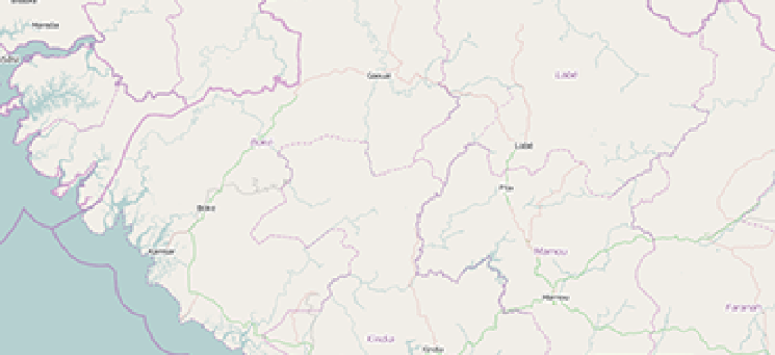
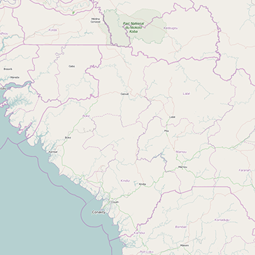
The public-facing website allows relief agencies and other responders to the epidemic to access detailed information on the geography and infrastructure of Liberia and Guinea, and build maps that include layers of information on Ebola treatment centers, mobile phone coverage, power grids, airfields and more.
The unclassified tool based on Esri’s ArcGIS Platform and hosted by Amazon Web Services can be customized by users to offer health workers and others a common geographic information platform.
"We want to get this stuff into the hands of [non-governmental organizations] as quickly as possible," said NGA's Tim Peplaw, who leads agency efforts to interface with groups responding to humanitarian crises.
In previous emergencies, NGA would share static maps or other products with relief efforts. Sharing a dynamic, continually updated platform with NGOs and others is unprecedented, according to a release from the intelligence agency.
"If we don’t keep it unclassified, the majority of the people who are working in the field will not be able to access the information that they may need to help bring this epidemic to a close," said Martin Cox, NGA's Africa officer and a leader in the agency's Ebola response.