Farmers and allies seek looser drone rules from Congress


After hearing testimony from the farm data industry, lawmakers might push the FAA to relax line-of-sight rules for drone operators.

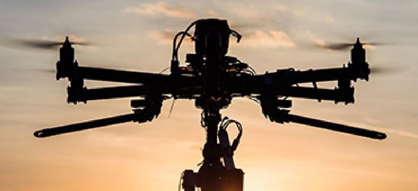
Big data collected via drones could hold yield-boosting promise for American farmers, but many argue that drones need the freedom to fly.
In a June 23 hearing of the House Agriculture Committee's General Farm Commodities and Risk Management Subcommittee, representatives of the farm data industry dinged the Federal Aviation Administration's recently released commercial drone rules.
FAA rules mandate that drones fly within the line of sight of their operators, which some experts say is unnecessary and could undermine the use of drones in agriculture.
"Beyond line of sight would be very, very helpful to incorporate this technology," said Robert Blair, vice president of agriculture at drone services contractor Measure.
Technology exists to safely operate unmanned aerial vehicles (UAVs) out of the operator's direct sight, he said. "It comes down to regulations," he added.
Lawmakers were receptive to his comments.
Rep. Randy Neugebauer (R-Texas) skewered the notion that a farmer or rancher with thousands of acres would follow a UAV around in his or her pickup truck. "If you're going to have the digital cowboy that's going to ride the fence, you're going to need to program that," he said.
"It seems to me like a no-brainer," Rep. Bob Gibbs (R-Ohio) said. "In a rural area, far away from airports, line of sight shouldn't even be an issue. We have to adopt this technology or we'll fall back globally."
Blair acknowledged several other barriers to data collection by drones. Restricted airspace sometimes blankets farmland, cutting farmers off from the collection of valuable data, and some landowners might not like seeing UAVs in the sky.
Farmers, companies and government agencies might encounter people who "shoot, shovel and shut up" when they see UAVs in the sky, Blair said. "People are going to do crazy things," he added.
Other industry representatives asked Congress to err on the side of openness, noting that the collection and assembly of broad swaths of historical data will help future farmers dramatically improve their use of cropland.
Tim Crago, vice president of North West Geomatics, asked Congress to consider dedicating $30 million annually to the Farm Service Agency's National Agricultural Imagery Program, saying the funding would enable the program to produce annual, instead of biennial, aerial imagery of the 48 contiguous U.S. states.
Blair called for "friendlier regulation" across the board.
And given rapidly evolving technology and international competition, UAVs merit a mention in the next farm bill, he said.