Energy Department releases code to count bats in the dark


Pacific Northwest Laboratory researchers are making the thermal imaging software available to energy companies to help with offshore wind turbine siting.
National laboratory researchers have released an initial version of software that can help energy companies see birds and bats at night and could help energy companies set up offshore energy windmill farms.
The problem of siting wind turbine farms in areas where the turbines' spinning blades don't annihilate local populations of airborne wildlife is a long-standing environmental concern.
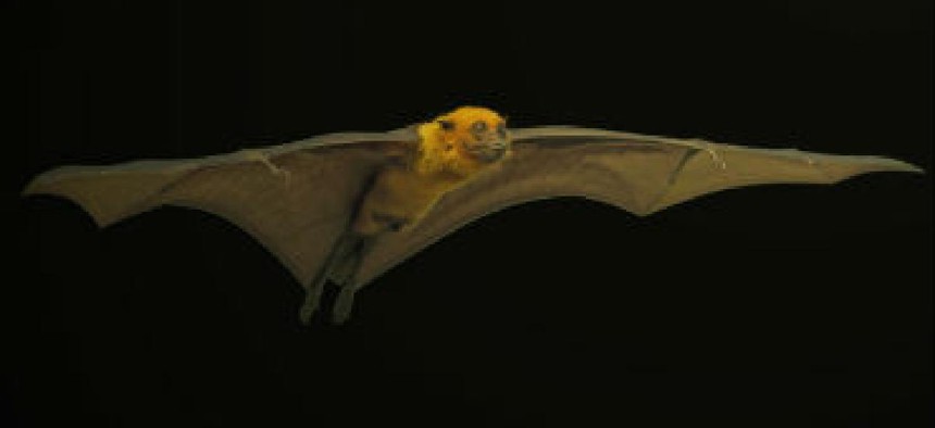
Night-flying flocks of birds and masses of bats flit and soar in remote locations offshore and can be difficult to see, said the lab, making siting energy-producing windmills there a life-and-death decision.
The software, developed and made available through GitHub by the Energy Department's Pacific Northwest Laboratory, uses thermal imaging from cameras trained on the site to help find clusters of birds and bats near those potential remote offshore wind farm sites.
Called "ThermalTracker," the software can automatically categorize birds and bats in thermal video. It can help determine how many birds or bats are near an offshore wind project and if they could be affected by the project, allowing developers to modify plans.
The lab said researchers from the non-profit Biodiversity Research Institute are testing the system this summer in Maine to see how well it performs.
Researchers are updating algorithms that allow the software to detect and identify the flying wildlife in real time on video, instead of in after-recording analysis. The new algorithm, it said, will also save video only when birds or bats are spotted, saving on data storage and allowing longer-term observation and analysis.