DARPA seeks underground mapping capability


The Defense Department's research arm wants to meet with tech companies in a huge cave underneath Kentucky about subterranean mapping and search capabilities for military and civilian first responders.
Subterranean mapping made global news recently with the perilous rescue of 12 Thai boys and their soccer coach from a flooded underground cave.
The Thai navy SEAL divers who rescued the group were aided by a 3D map of the cave made by geo-technology firm Intermap Technologies, which was based on satellite, elevation and hydrology data crunched together using artificial intelligence.
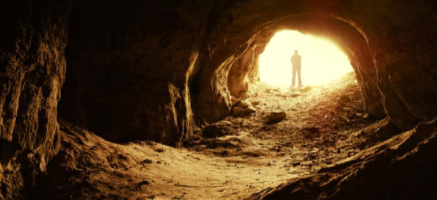
The Defense Department's research arm is getting interested in what geo-technology can do to map subterranean space. In September, researchers from the Defense Advanced Research Projects Agency will convene a competitor's day in the Louisville Mega Cavern, a 100-acre manmade limestone cave underneath a portion of the city's southern section that currently houses commercial storage facilities and public recreation businesses such as underground zip lines and electric bike and tram tours. The cavern was an underground crushed limestone quarry from the 1930s to the 1970s before being converted to current uses in the late 1980s.
DARPA wants to get acquainted with companies that can provide a better understanding of how to map, navigate and search underground complexes, from man-made tunnel systems, urban and municipal underground infrastructure as well as natural cave networks.
In particular, the agency said it is looking for the capability to find humans quickly in complex subterranean environments where rescuers have no clear paths and it's too dangerous to send in personnel to search.
DARPA's SubT Challenge asks technology providers to develop solutions "that will dramatically outperform" current techniques that rely on labor-intensive and potentially dangerous manual search and mapping capabilities.
DARPA said it is looking for teams of providers that can put together core systems that have autonomy, perception, networking and mobility with an eye towards developing integrated systems and software solutions that can meet the extreme challenges underground environments present.
The research agency has set up dual systems and virtual competition tracks for the effort. The systems track will develop novel physical approaches that will be tested in underground courses, it said, while the virtual track looks to develop software and algorithms to construct virtual models of subterranean systems, environments and terrain for simulations aimed at larger-scale scenarios.
Because of the location, the agency noted that only the first 240 registrants will be able to physically attend the meeting. Another 500 participants will be able to join a webcast of the event.