Weather satellite program appears back on track


 By
Frank Konkel
By
Frank Konkel
Four of six instruments designed for NOAA’s next-gen system are ready for integration on the spacecraft, which is scheduled for launch in 2016.
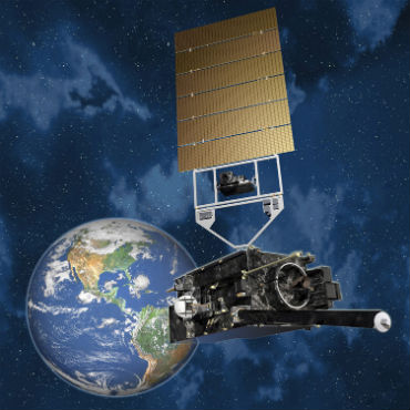
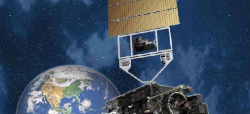
Four of the six state-of-the-art scientific instruments that will launch with the National Oceanic and Atmospheric Administration’s first next-generation geostationary satellite are ready for spacecraft integration set to begin this month.
The instruments include the advanced baseline imager, solar ultraviolet imager, extreme ultraviolet and X-ray irradiance sensors, and the space environment in-situ suite. Those four instruments will be installed on the Geostationary Operational Environmental Satellite (GOES-R) at Lockheed Martin’s facility Littleton, Colo.
Two other instruments, the magnetometer and the geostationary lightning mapper, are on schedule to be delivered later in 2014. The delivery of all the instruments on time for integration is a key parameter for the first GOES-R spacecraft to launch by early 2016. The original GOES-R spacecraft’s launch date was delayed in 2013, a big reason why NOAA has been slammed in critical reports by inspectors general and Government Accountability Office.
However, the instruments’ timely completion is an indication that the $11 billion GOES-R program is back on track.
"Together, these tools will improve NOAA's ability to observe terrestrial and space weather from geostationary orbit in near real-time," GOES-R System Program Director Greg Mandt said in a statement. "These deliveries, and the start of integration with the spacecraft bus, demonstrate the continued strength of the program as it moves towards launch in 2016."
When it is launched, the GOES-R will be the most advanced civilian spacecraft in orbit, producing four times more continuous data than existing geostationary satellites. Sometime around 2017, the NOAA constellation of satellites will produce on the order of 20 terabytes of weather data per day. Much of that data will be generated by the instruments aboard GOES-R, which include:
- The geostationary lightning mapper, which will provide for the first time a continuous surveillance of total lightning over the western hemisphere from space.
- The space environment in-situ suite, which consists of sensors that will monitor radiation hazards that can affect satellites and communications for commercial airline flights over the poles.
- The solar ultraviolet imager, a high-powered telescope that observes the sun, monitoring for solar flares and other solar activity that could affect Earth.
- The magnetometer, which will provide measurements of the space environment magnetic field that controls charged particle dynamics in the outer region of the magnetosphere. These particles can be dangerous to spacecraft and human spaceflight.
- The advanced baseline imager, which is GOES-R’s primary instrument for scanning the planet’s weather, oceans and environment, offering faster imaging at higher resolutions than current space-based technology. The instrument also offers NOAA new forecast products for severe weather, volcanic ash advisories, fire, smoke monitoring and other types of hazards.
- The extreme X-Ray irradiance sensor, which will monitor solar behavior and alert ground crews of solar storms.