The opening up of GPS


In May 2000, President Bill Clinton authorized the removal of a security feature from the Global Positioning System -- a decision that opened the doors to accurate geospatial data for thousands of government and consumer applications.
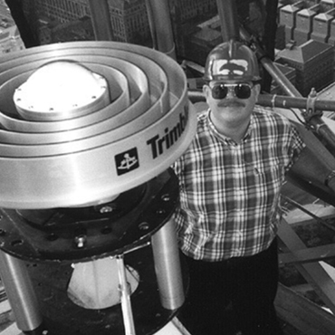
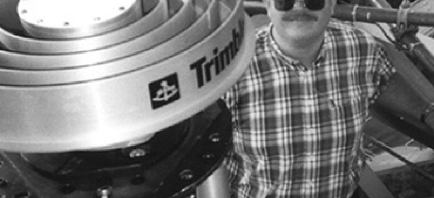
The Commerce Department's Dave Ward checks the alignment of the GPS receiver atop the Washington Monument.
In May 2000, President Bill Clinton authorized the removal of a security feature from the Global Positioning System -- a decision that opened the doors to accurate geospatial data for thousands of government and consumer applications.
The presidential order dramatically improved the accuracy of satellite-based navigation by turning off Selective Availability -- a dithering function designed to intentionally distort GPS timing and positioning data.
The feature had been added to block uses of the GPS system by enemy actors, but it was discontinued when the Defense Department concluded it was no longer needed. Without it, the margin of error for civilian uses of the satellite system sharpened from 100 meters to less than 20 meters.
The new, more accurate GPS started a boom in the market for geolocation applications within and outside government. Today GPS technology is embedded in devices as varied as cell phones and snowplows and used in industrial applications ranging from construction to supply chain management.
Even before the GPS system was opened up, federal agencies had been busy designing new civilian applications. In 1997, NASA began experimenting with the use of GPS receivers to pinpoint within a few feet the exact position of a space shuttle, aircraft or individual on the ground.
At the National Oceanic and Atmospheric Administration, surveyors were testing the use of GPS to maintain the integrity of some of the federal government's architectural treasures. In summer 1999, NOAA teamed with the National Park Service to use GPS to measure micro-scale shifts of the Washington Monument's foundation.
Throughout the 1990s, the Federal Aviation Administration pursued GPS in its search for ways to conduct more precise airplane approaches in less time and under poorer weather conditions than ever before.
And as geospatial data powers an ever-growing range of government missions, the accuracy of the data continues to improve as well.
In February, for example, researchers at the University of California, Riverside's Bourns College of Engineering developed a method for using a device's own inertial measurement unit to deliver centimeter-level GPS location accuracy. That advancement could be hugely important for autonomous vehicles, mobile phones and precision agriculture technologies, researchers said.