FAA greenlights drone use in Irma recovery
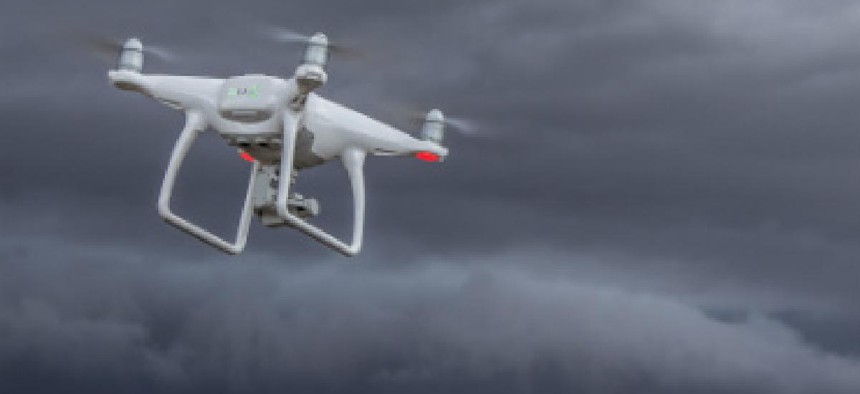


Hurricane Irma generated a wave of drone authorizations at FAA as recovery work ramped up in Florida.
The two weeks in 2017 that saw two Category 4 hurricanes strike the U.S. will likely go down a landmark period for the use of the aircraft in disaster recovery efforts.
The week after Irma struck Florida, the Federal Aviation Administration said it worked to quickly issue a total of 132 airspace authorizations to local, state and federal government agencies and critical infrastructure providers in the state to operate drones in the disaster zone, as agencies and commercial industries began the clean up after the huge storm.
Irma made landfall in Florida on Sept. 10, a little more than two weeks after Hurricane Harvey hit Texas. In the wake of Harvey's floodwaters in Houston and other parts of the Texas coast, FAA Administrator Michael Huerta said the storm was a landmark for the use of drone technology in disaster recovery. The FAA had to learn on the fly, streamline how it issues drone authorizations as Harvey did its damage, Huerta said.
By early September, FAA had quickly issued 137 authorizations to local, state and federal agencies for a wide variety of operations in support of Harvey recovery. Those included fire departments, railroad companies and emergency management officials who used the aircraft to look at buildings, bridges and roadways for critical damage. Cell tower companies also launched drones to assess towers and ground equipment, and insurance companies put them in the air to look at damage to neighborhoods.
Hurricane Irma drew similar drone authorizations for similar recovery work, showing how UAS technology can be a go-to for disaster recovery operations.
The Air National Guard, said the FAA, used drones normally tasked for combat operations to perform aerial surveys in Florida after Irma, allowing it quicker access to areas and prioritize assistance.
Customs and Border Protection also sent Predator B drones from its operational base in Corpus Christi, Texas, to help map the hard-hit Key West area, as well as Miami and Jacksonville. The CBP drones used radar to survey the condition of infrastructure such as power plants, for the Federal Emergency Management Agency, said the FAA.
Insurance companies and utilities also tapped drones to assess damage and launch recovery efforts.