DHS seeks drones to patrol the border
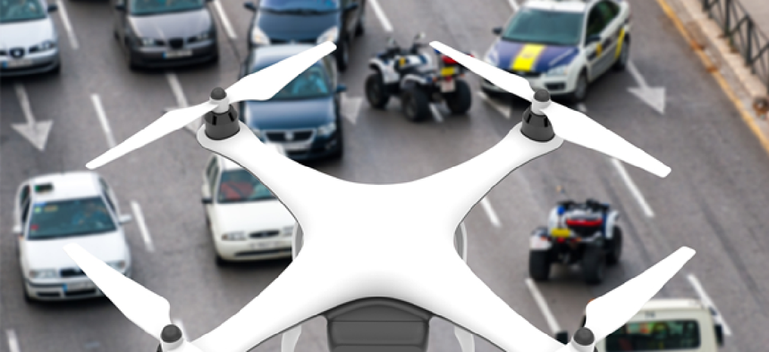


The DHS technology directorate wants to test small drones and their onboard sensors in a variety of security scenarios.
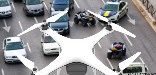
The Department of Homeland Security plans to test small drone aircraft with sensors that can identify people and vehicles from above, track flying objects and collect data on active shooters.
Test will take place in controlled airspace at an Army base in Hattiesburg, Miss., according to an April 30 request for information, posted on FedBizOpps.
The Robotic Aircraft Sensor Program – Borders RASP-B is part of an overarching, ongoing effort by the DHS Science and Technology Directorate’s borders and maritime security division to identify UAS capabilities, deficiencies and how the technology can fit into DHS’ many missions.
RASP-B is focused primarily border security and law enforcement capabilities, allowing border security agents to test small Unmanned Aerial Systems and sensor supplier systems under "typical border mission scenarios."
The assessments will be of flight-proven small drone systems, including rotary and fixed wing vehicles and their integrated sensors, according to the announcement.
The small UAS systems will be run through a variety of border-security and law enforcement related scenarios, including their ability to map terrain in 3D and see changes in the terrain.
Some scenarios will require the aircraft to fly unnoticed by human hearing and sight, including quick deployment to areas where sensors have detected intrusions to determine if a human agent is needed, or whether agents already on scene are injured.
Another border security scenario will require a small drone aircraft to operate undetected along a predetermined route observing and reporting unusual activity and identifying faces and vehicles involved in that activity comparing them profile pictures and license plate data.
DHS is also testing the ability of drones to deploy to an active shooter situation to identify buildings where a shooter or shooters might be located, identify victims, as well as identify shooters by comparing images with photos.