Though some developers describe facial recognition and analysis as “completely different technologies,” privacy advocates argue they remain the same in the kinds of dangers they pose.
House and Senate lawmakers are seeking to modify current law to create a “digital skills at work grant program” for those accessing government-funded career services.
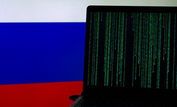
The documented reports and research of foreign propaganda campaigns align with new private sector analysis about recent efforts to flatline U.S. election confidence.
The Committee on House Administration released its April AI Flash Report reviewing past and present agenda items to implement AI systems in legislative operations.
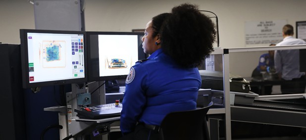
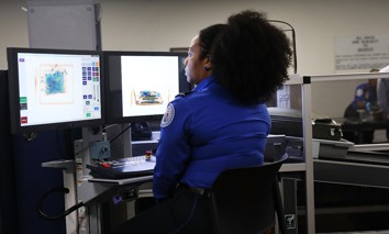
The Transportation Security Administration is already using facial recognition to verify the identity of travelers but wants to improve its scanners to detect more prohibited items.
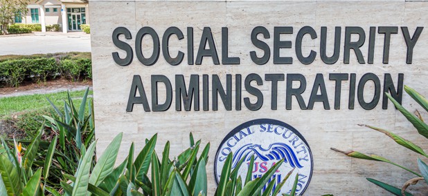
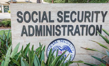
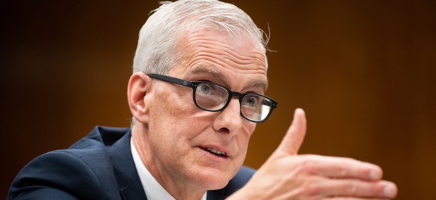
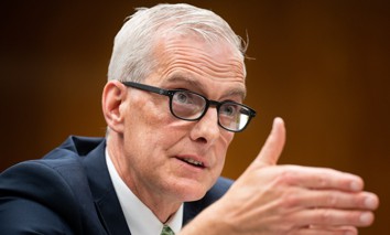
SSA Commissioner Martin O’Malley sat down with Nextgov/FCW recently to talk through the agency’s biggest challenges, including how it delivers disability assistance.
Get practical guidance on maturing the Identity security controls outlined by the Cybersecurity Infrastructure Security Agency (CISA) Zero Trust Maturity Model Version 2.0.
It’s the first time the federal government has ever issued rules clarifying how the more than 30-year-old Americans with Disabilities Act applies online. But the new rules come with a hefty price tag for state and local governments.
The new best practices aim to help organizations deploying AI to secure their digital environments, with a particular focus on protecting AI model weights and extensive system vigilance.
NVIDIA, Hewlett Packard, and the Department of Energy jointly bought a new supercomputer to the New Mexico lab outfitted for processing large volumes of data.
The legislation comes after the Biden administration rescinded a memorandum that would have tied water sector cyber reviews to existing sanitation surveys.
Hackers used data from a federal contracting hub to steal funding from seven grantee organizations in an HHS breach that occurred last year. Both HHS and GSA say that Login.gov was not compromised or connected to the theft.